

Highlights from the print collection
An introduction to the print collection of the Royal Collection
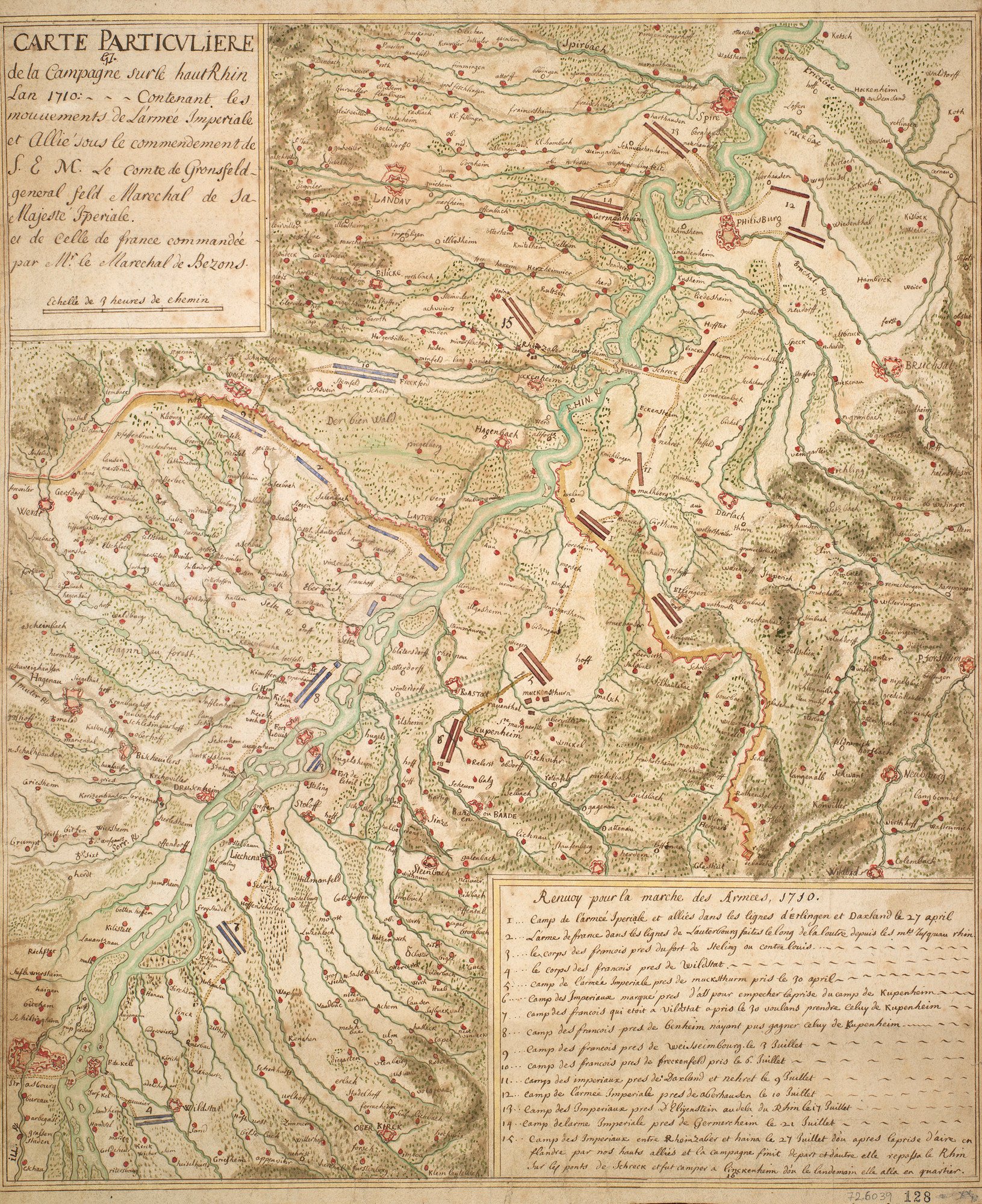
George III's Military Maps
 51°24'00\"N 09°25'00\"E")
The ‘King's Military Maps’ collection (usually abbreviated to ‘K.Mil.’) is a unique assemblage of more than 4,000 maps, plans and views of military and naval engagements from the mid-sixteenth century to the early nineteenth century. The material is both manuscript and printed, from fortification plans and maps of sieges, battles and route marches, through to rough operational field sketches compiled by military surveyors and draughtsmen, occasionally with accompanying manuscript journals.
The collection provides a contemporary account of primarily British involvement in theatres of war across the world, especially during the eighteenth century. There are particularly strong holdings of maps relating to the War of the Austrian Succession (1740-48), the Jacobite Rebellion (1745-6), the Seven Years’ War (1756-63), the American War of Independence (1775-83), and the French Revolutionary and Napoleonic Wars (1792-1815).


