Map of Hastenbeck, 1757 (Hastenbeck, Lower Saxony, Germany) 52°04'44"N 09°25'07"E 1757 or later
Pencil, pen, ink and watercolour on paper | Scale: 1:38,600 approx. Scale bar: Echelle d'une demie heure de Chemin [63 mm =]. (scale) | RCIN 732027
-
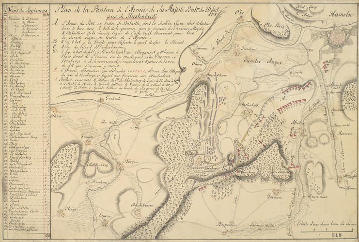
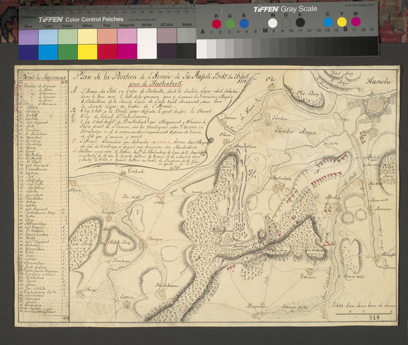
A map of the positions and movements of the Army of Observation (George II's German troops) and those of the French, at Hastenbeck, 25 July 1757. Seven Years War (1756-63). Oriented with west to top.
Another example of this map by du Plat is at RCIN 732201.u.
Additional text: [below title, in title cartouche, a key, A-F, to the disposition of the troops of George II's German army and those of the French.] [Down left side of map, a list of the regiments of George II's army together with the number of squadrons and battalions:] Noms des Regimens.
Condition: no fold lines; creased; slight surface dirt. Verso: foxing; top left, water-stained patch, fragments and shadow from the removal of Cumberland's cipher label; the linen has shrunk where the label has been soaked off.Provenance
From the collection of military and naval maps and prints formed by Prince William Augustus, Duke of Cumberland (1721-65), third son of George II; subsequently acquired by George III (1738-1820)
-
Creator(s)
Acquirer(s)
-
Medium and techniques
Pencil, pen, ink and watercolour on paper
Measurements
Scale: 1:38,600 approx. Scale bar: Echelle d'une demie heure de Chemin [63 mm =]. (scale)
27.9 x 43.4 cm (image)
27.7 x 37.3 cm (neatline)
29.4 x 43.9 cm (sheet) (whole object)
Markings
watermark: IV
annotation: Old heading: Hastenbeck 26 July 1757. Other annotations: (Recto) [bottom right, black pencil:] 14. (Verso) [centre, red pencil, obscured by linen:] 45.
Category
Alternative title(s)
Plan de la Position de L’Armée de Sa Majesté Britque du 26 Juil: / 1757 / pres de Hastenbeck.
Hastenbeck. Plan dessiné de la position de l’Armée de Sa Majesté Britannique pres de Hastenbeck le 26 Juillet 1757: par du Plat.


